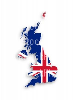
Map of the United Kingdom of Great Britain and Northern Ireland
- Home
- Catalog
- Defence, Security & Politics
- Map of the United Kingdom of Great Britain and Northern Ireland
Keywords
administrative atlas backdrop background blue border boundary britain british cartography color contour country cut design destination detailed digital east editable flag geography graphic graphical great britain grunge icon illustration isolated land language line map middle national official outline raster red shape sign silhouette state symbol tourism travel uk united kingdom united kingdom of great britain and northern ireland whiteFile Details
Published: 29/01/2018 Rating: Category: Defence, Security & Politics Viewed: 2070 Downloads: 0 Model release: NoProperty release: NoShare
Map of the United Kingdom of Great Britain and Northern Ireland
| Title | Price | Buy |
|---|---|---|
| Small Web | 1 USD or My Credits | |
| Medium | 2 USD or My Credits | |
| Large | 3 USD or My Credits | |
| Ex Lge (XL) | 5 USD or My Credits | |
| Original (XXL) | 7 USD or My Credits |
Files:
JPG: 2662x3622px @ 0.63 Mb.
Map of the United Kingdom of Great Britain and Northern Ireland with national flag, isolated
